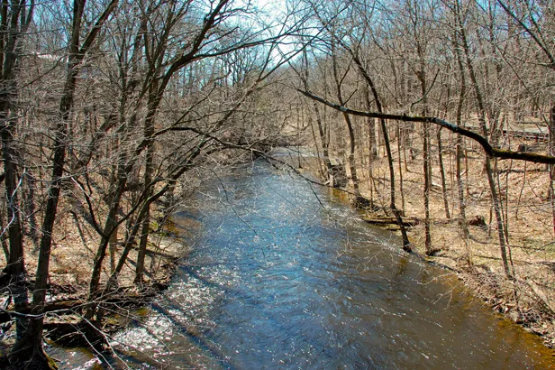
PATERSON is one of the most flood-prone communities near the Passaic River
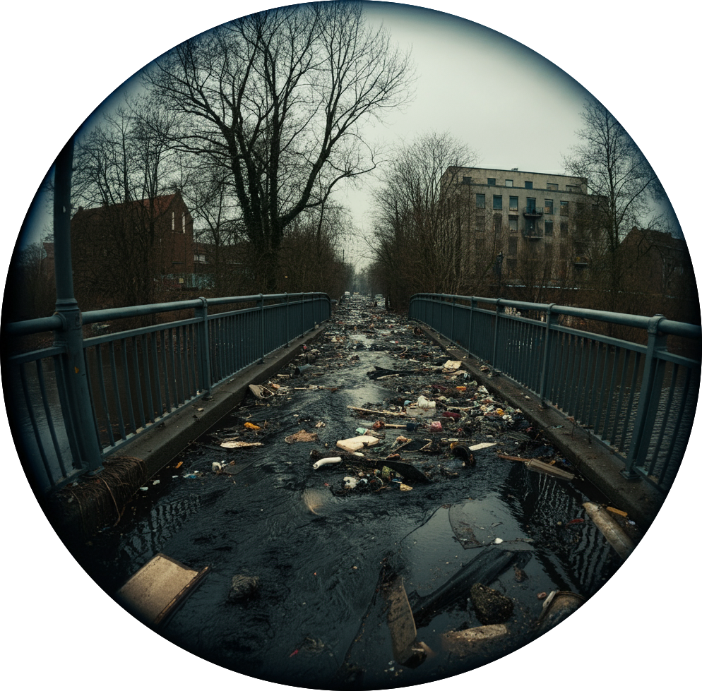
Flooding can happen for many reasons. Rivers overflow due to major upstream storms. Local combined and separate sewers are overloaded. Catch basins in the street get blocked with debris. Most flooding will occur within designated federal and state flood hazard areas, but some won’t. This is either because federal and state maps are outdated or something happens that the maps didn’t anticipate.
The Flood Resilience Hub is a joint project initiated by the Passaic River Coalition (PRC), a regional watershed organization, and the New Jersey Institute of Technology (NJIT) to help neighborhoods and city governments understand where flooding happens, how that relates to what was expected, and how that information can enhance community engagement, collaboration, and flood resilience in New Jersey.
Become and Observer
If you would like to be contacted as an observer when flood shots are needed, please provide your telephone number. We will send alerts.
Project Updates
If you would like to be contacted regarding project results, please provide your email address.
using your cell & browser to submit observations
To submit flood observations, you can visit this website or add the submission form to your device as follows:
If you are an iPhone user, scan the QR code to the right (below if you are viewing this site from your cell) to open the form with Safari. Once you are looking at the form, tap the share icon (the square with the up arrow) and then select Add to Home Screen.
If you are an Android user, scan the QR code to open the form with Chrome. Once you are looking at the form, tap the three dot menu and select Add to Home Screen.
using WhatsApp to submit observations
If you prefer, you can use WhatsApp to submit flood observations. Simply scan the QR code to the left (above if you are viewing this site from your cell), attach your photos, and send them. Be sure to save our number to submit observations in the future.
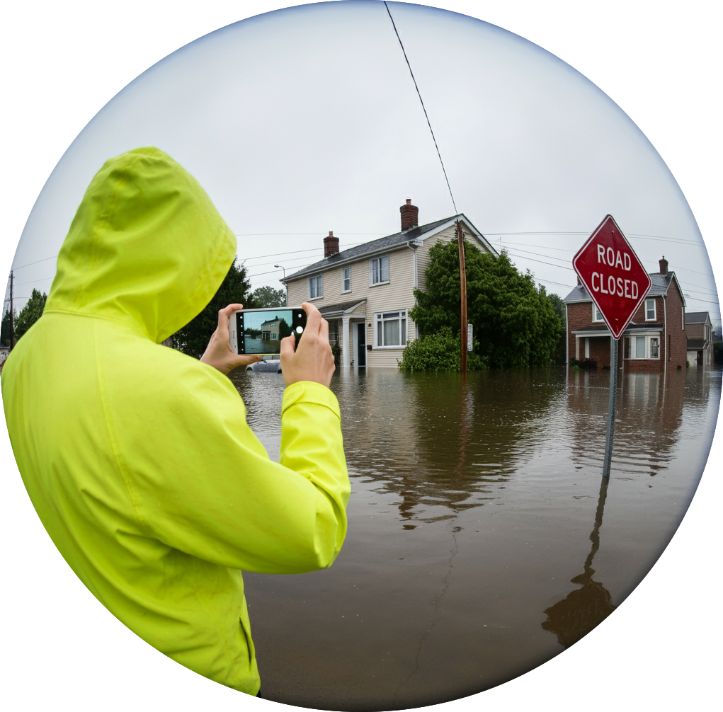
SEND YOUR PICTURES
Local residents are affected by flooding more quickly than anyone else and can see what is happening as it happens. We need your help! Please, where and when it is safe to do so, take a photo of flooding in your neighborhood and then submit it below either immediately or when you have time after the flood.
In the future, you will be able to view the observations reported by local residents by source of flooding, severity, water depth, and other criteria by clicking on the button below or by selecting a report option from the main menu.
YOUR DATA INFORMS DECISIONS
The Passaic River Coalition will work with local partners, the city and county to improve decisions about flooding using your observations.
The development of the Paterson Flood Resilience Hub was made possible with the financial support of the New York-New Jersey Harbor & Estuary Program and the PSEG Foundation.
Work Product Disclaimer
Although the information in this site has been funded wholly or in part by the United Sates Environmental Protection Agency under agreement to the Hudson River Foundation for the New York-New Jersey & Estuary Program, it has not undergone the Agency’s publications review process and therefore may not necessarily reflect the views of the Agency and no official endorsement should be inferred. The viewpoints expressed here do not necessarily represent the belief or opinions of the New York-New Jersey Harbor & Estuary Program, the Hudson River Foundation or the United Sates Environmental Protection Agency. They assume no responsibility or liability for the contents or use of the information herein nor does mention of trade names, commercial products, or causes constitute endorsement or recommendation for use.